Cookie policy
One Platform to Manage your Global Portfolios in Real-Time
Putting Satellite Data and Artificial Intelligence in the hands of the Insurer
Empowering Risk Selection in Cyber Insurance
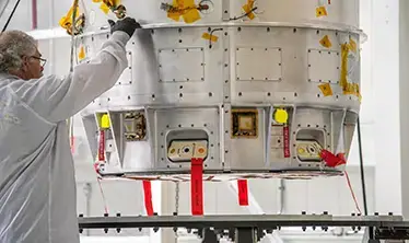
Advanced solutions for crewed missions
Assembly, Integration & Testing
Digital security solutions
Satellite imaging & analytics
Real-time monitoring & intelligence
Digital threat detection & protection
Rapid response coordination
Get all the latest Skytek news directly to your inbox.
Providing the information you need to accurately assess and price risk in multiple lines of business
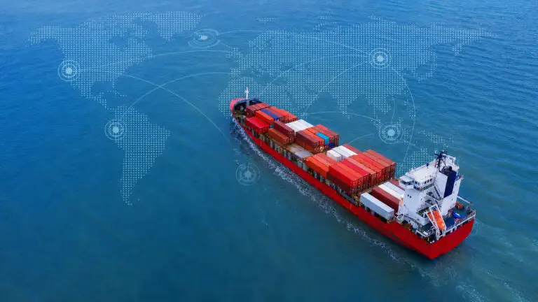
Get ‘eyes on the ground’ with satellite technology
Real-time compliance, analytics, and automation for robust risk management and regulatory adherence
One platform to manage your global portfolios in real-time
We are leveraging satellite imagery and analytics to deliver unique insights on properties, vessels and regions.
Assess the cyber risks associated with any company and identify potential system vulnerabilities.