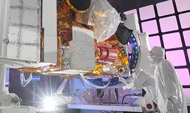
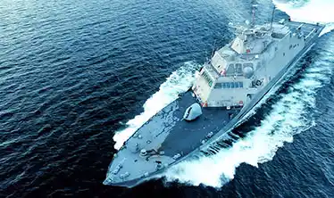
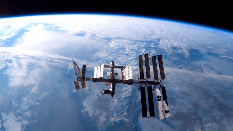
Earlier this year Skytek entered into a Strategic Partnership with AON to develop state of the arts tools to support the (re)insurance industry more effectively manage aggregate risks, specifically mobile assets such as marine and cargo. To further develop the Aggregate Tools suite with a focus on port risk accumulations; Skytek has recently secured a contract from the European Space Agency. AON will partner with Skytek in the highly innovative development of the Port Aggregate Tool (PAT) using the latest Earth Observation, Satellite and Data Analytics technologies
Skytek’s ‘Cargo Port Analysis using Earth Observation (EO) and Global Navigation Satellite System (GNSS)’ stems from Skytek’s development of their ‘Marine Aggerate Tool’ (MAT). This tool was developed to assist (re)insurance companies better manage marine aggregate risk. The Marine Aggerate Tool currently provides a common operational picture of ocean areas using Satellite Automatic Identification System (Satellite- AIS).
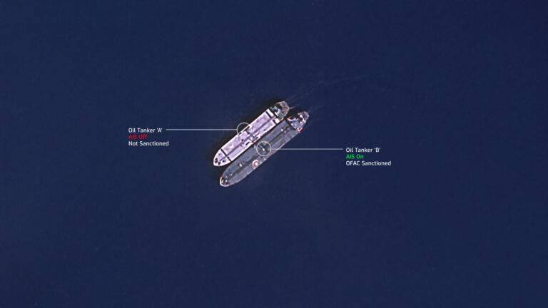
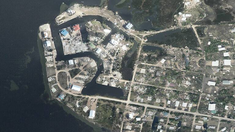
The ‘Port Analysis using EO and GNSS’ system will integrate the newly available next generation of Earth Observation information now available from constellations such as ESA’s Sentinel missions and emerging commercial providers. This advancement will provide more frequent overpass images, higher resolution and SAR data capture. This will allow for the analysis of the current load within a port of stored containers, oil/gas volumes and stored vehicles thus allows a determination of value and the associated exposure of port stored assets for an insurance/reinsurance company.
GNSS usage will form a key part of the Port Analysis system. The system will make use of GNSS from systems such as Galileo in combination with AIS positional data as a major element of the position of vessels within a port. In addition, GNSS positional information will be tagged onto port side elements extracted from Earth Observation analysis.

